Definition And Purpose
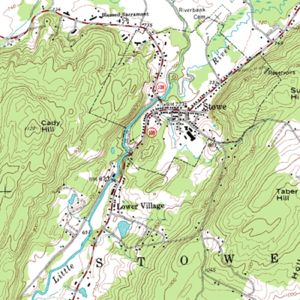 Topographical Mapping involved the survey of position and shape of natural and artificial features on the earth. These are then presented either in analogue (hard copy) or digital form. Topographical plan/map is used for design and planning purposes
Methodology and Instrumentation
Topographical Mapping requires a network of control points (x,y,z) to be established over the area before the detailed survey of ground features can be carried out at the subsequent stages. These surveys are carried out by triangulation and trilateration technique or traversing using EDM/total station or using global positioning system. The detail topographical features are picked up using tacheometric method using total station.
The field data collected is then processed either manually or by electronic means. After appropriate cartographic treatment, the output of topographical plan/map can either be in analogue (hard copy) or digital format.